
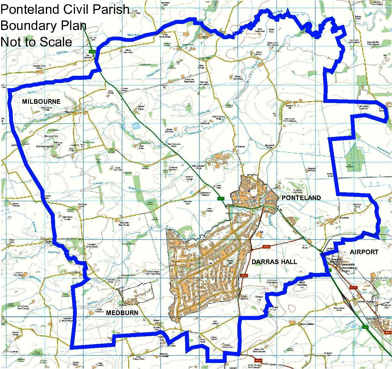
Ponteland Civil Parish
Ponteland has a population of approximately 11,000 residents living in the village, Darras Hall Estate and the surrounding hamlets.
Vision Statement for Ponteland Civil Parish
The community partnership supports the Ponteland Neighbourhood Plan and the Vision statement below:
- Ponteland will maintain its identity as a sustainable, thriving community, accessible to people of all ag
- A gateway to Northumberland, which values its rural setting, rich heritage, natural environment and open spa
- It will remain visually distinct and separate from the Newcastle/Tyneside conurbation, meeting the needs of the current population and community of the future, without compromising this distinction.
- The special identities of Darras Hall, the historic core of Ponteland village and the small settlements in the Plan area will be maintained and enhanced for future generations, making the Civil Parish of Ponteland a desirable place to live, work and visit.’
View Ponteland Neighbourhood Plan – Made Version
Ponteland Neighbourhood Plan Policies Map – Made Version
View Community Character Statement NOV 16
The majority of the area comprises a working, rolling landscape made up of a mixture of 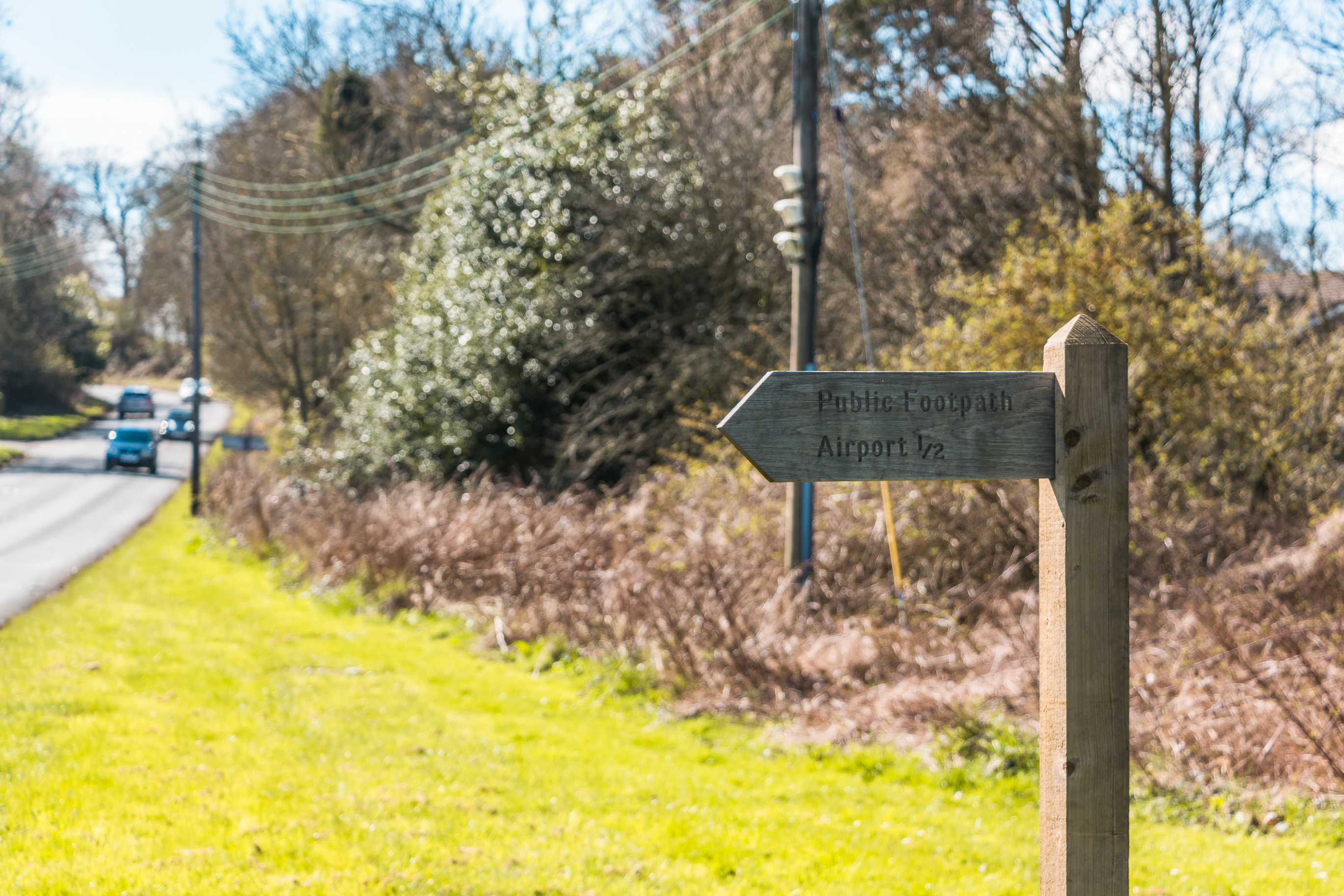 land uses. Most is arable farming predominantly in small fields that have been established for hundreds of years. Areas of arable farming are interspersed with grassland supporting livestock farming with a network of mainly thorn hedgerows around most of the local fields and areas of established woodland which helps to give the local countryside its amenity and character. Many of the local farms are occupied by families who have farmed the same land for generations.
The landscape around Ponteland is particularly attractive due to the River Pont and the many smaller streams which divide up the area. The River Pont flows from the south-west of the area to join the River Blyth at the north eastern boundary. The land is in the main gently undulating but rises towards the south giving views across Northumberland to the Simonside and the Cheviot Hills.
There is an extensive network of footpaths across the area which gives public access into the countryside with a network of minor roads joining the major transport route the A696 running south-east to north-west.
The main settlement, Ponteland village with the adjoining Darras hall Estate lies at the crossing point of the A696 and the River Pont with several hamlets around the Ponteland village.
PNP Walk-3 Diamond to Prestwick
PNP Walk-4 Memorial Hall to Dissington Bridge