Active travel routes
Are those routes that are used by pedestrians, cyclists and horse-riders. They can include established pathways and cycle routes, Public Rights of Way, Bridle Paths and paths of a more informal nature.
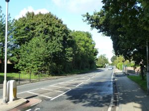
The Green Infrastructure network within the area often plays an important role in providing active travel routes. Historically, a branch line of the North Eastern Railway (later part of LNER) connected the historic core of Ponteland to Newcastle. Disused since 1929, along with Ponteland and Darras Hall stations, this now provides two traffic-free, tree lined cycle routes Public Rights of Way through the settlement and its surroundings.
 Route 10 of the National Cycle Network passes through the Civil Parish, following the disused railway line west to east and continuing on further traffic-free trails east of Ponteland.
The identified active travel routes are:
- The disused railway line which runs from near Newcastle International Airport, to the village centre;
- The disused railway line which runs from the village centre, through Darras Hall and out towards Dissington and Dalton;
- The footpath which runs from North Road, past The Cloggs and along the west side of the River Pont to open countryside north of the village;
- Other well used footpaths include:
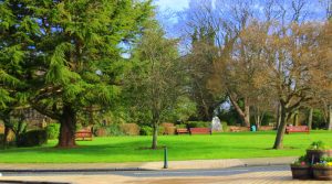
- The footpath in Ponteland Park following the river, linking Dunsgreen and the High School to the northern edge of Darras Hall along Fox Covert Lane’
- The public bridleway north of Eland Hall and the golf course which provides an important link to Prestwick Carr and Dinnington;
- The public footpath linking the south east of the village along Cheviot View to Prestwick Business Park and Prestwick village.
PNP Walk-3 Diamond to Prestwick
PNP Walk-4 Memorial Hall to Dissington Bridge